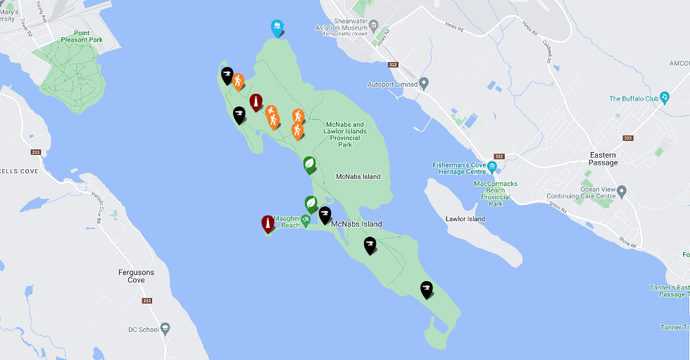
Welcome to the Friends of McNabs Island Interactive Map!
This map has been developed to help visitors on the island and virtual to appreciate all the natural and cultural features which are present on the island. McNabs Island is a truly unique and special Provincial Park.
While the Friends are excited to have launched the map, there are many other island features yet to be included, and over time new icons will be added to expand the map content.
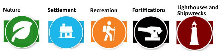
Friends have selected the five interpretative themes and associated icons, shown below, to capture the stories of McNabs Island. Additional themes are under development, and will be added to the map when available.
For the user’s information, our map uses Google Maps as our base layer. Therefore other items may appear on the map which the Friends have not placed there, and therefore cannot comment on the accuracy of that information. Our content is identified by the icons displayed on this page.
We are continually discovering new stories and details connected to the history of McNabs Island, and would encourage anyone with information, comments or questions associated with McNabs Island to connect with us.